
Thursday 27th September 2018
Coral garden Cocos Keeling
Sitting atop a sea mount rising from the sea bed 5000m below, Cocos Keeling is 600nm SE of Java and over thousand miles NW of Australia, it is the very definition of the middle of nowhere. Two stunning coral atolls comprising of 27 white sand islands, topped with palm trees and of course surrounded by turquoise seas.
The anchorage off Direction Island
For such a remote spot we have discovered it has a lively history. The inside of the Southern Atoll has provided, in the aptly named Refuge Bay, protection for passing ships for centuries and we in that long tradition are anchored in its lagoon off Direction Island. It was first put on the map by a whaler from the Scottish Clunies-Ross family, who in the early 19th century settled here, bringing in hundreds of Malay workers with whom he set up a successful coconut plantation.
At the beginning of the 20th century things began to change. As telegraph communications become more important, in 1901 a cable was laid from Perth in Australia to a repeater station on Direction Island and then on to Singapore and Mauritius providing a link from Australia to London. With the coming of the World Wars the islands strategic position became even more clear to the Australian government and in the 1950s, it would appear rather underhandedly, the Governor of the the time John Clunies-Ross was accused of practicing slavery, shamed and bankrupted. Cocos Keeling became part of Australia.
Oceana House the grand family home still stands on Home Island. After years of neglect it was bought by an Australian couple Avril and Lloyd and just in time its expansive teak panelling, wooden floors and ornate terraces are beginning to be restored.
Home island, a very wet 2nm dingy ride away from the anchorage, has that sleepy island feel that we have found in many isolated ocean islands. It is home to the majority of the Muslim Malay population and with only short distances to travel in their small town they get around slightly incongruously in golf buggies. There is a small museum, a supermarket, island administrative buildings and a brand new cyclone shelter. But our destination is almost always, the pavilion, here overlooking the beach and lagoon is an internet hotspot, every couple of days we sit, dripping from the journey, catching up with our emails and downloading the weather.
Connecting with the rest of the world
West Island, that forms a large part of the western lagoon edge, houses most of the Australian residents, a further supermarket, a cafe and the airport. Saturday our friend Richard was flying in from the UK to join us on the leg to Mauritius and Reunion. With the demise of our Bimini and sprayhood earlier in the year, we also had a large box of replacement canvas work, very efficiently supplied by Dolphin sails in the U.K. to pick up. Add on the fact that fresh groceries had arrived on the island that day, which I with seemingly the rest of the population, rushed to snap up before stocks dwindled, meant it was three very ladened sailors that made the convoluted trek back to Raya. First step was to take a shuttle bus from the town to the ferry dock, then it required two ferry crossings from West Island to Home Island, one for people and one for cargo and then being too loaded down for the dingy, we had to arrange a water taxi back to the boat. It took a while but we made it and Richard is unpacked, the new sprayhood up and the fridge full.
As we wait for the rather windy weather to calm down before we head off on the two week passage to Mauritius, we have been enjoying this rather special place. As well as learning about the islands history we have been following trails through land thick with palm trees, socialising with the World ARC boats that have gradually being filling the anchorage and snorkelling ‘The Rip’.
The Rip is a channel cutting through the coral at the end of Direction Island, the current runs at about 3kts and it is full of large grouper, trevally and white tip sharks, all enjoying the fast flow of nutrients. The coral walls either side provide overhangs, crevasses and bommies crowded with smaller fish. The dingy firmly in tow it made for a great, if rather quick, drift snorkel.
Inhabitants of the Rip
Today the wind is stronger than ever, the fetch across the lagoon forming white horses, we have put on our swimmers to make the crossing to the pavilion and are temporary connected to the world.
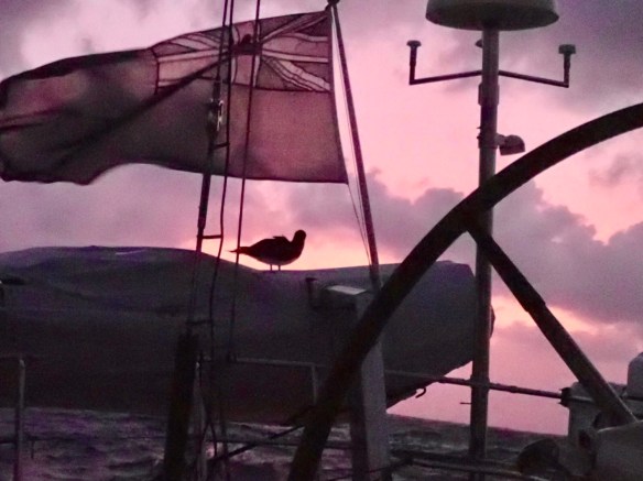 Masked Bobbie resting on the dingy
 The captain clinging on while he catches up on some sleep
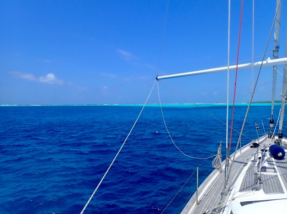 Motoring in to the lagoon off Direction Island
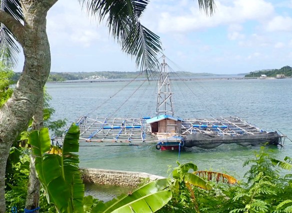 Bamboo and wood fishing rig tied up in Debut
 Fishing boat city
 Quarantine offers arriving by long boat
 Main street down to the wharf at Debut
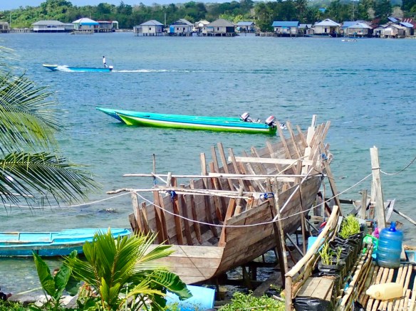 Loved this local wooden boat in construction at the bottom of the garden.
 You can find our track at
 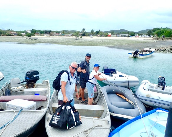 Getting the shopping into the dingy was a bit of a challenge for us and the guys on Alexandra.
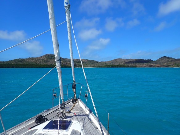 Anchored in splendid isolation in Blackwood Bay, Adolphus Island
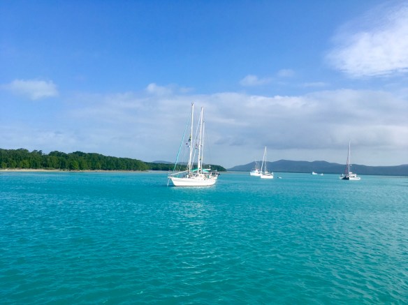 Anchored with the rally fleet off Horn Island
 Harry the local croc lounging on the banks of the anchorage
 Flinders Islands
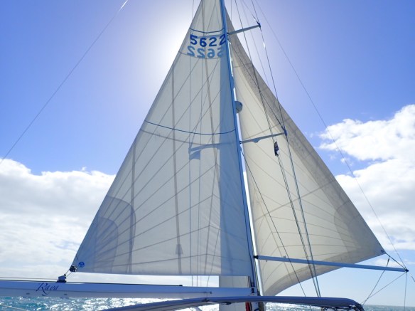 Downwind sail rig whisking us at 8kts northwards
 200 yr old graffiti, no luck deciphering it however
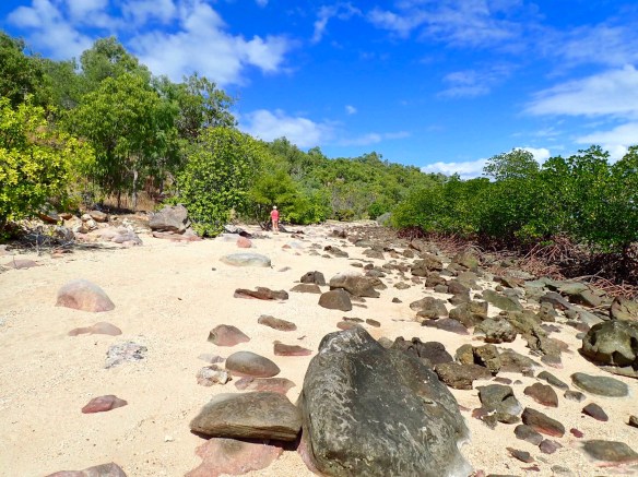 Graffiti walk on Flinders Island
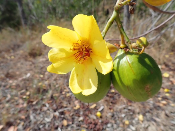 Beautiful flowering trees
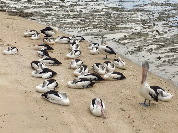 Pelicans on a rainy Cairns beach
 Mossman River
 At 4 1/2 m Scarface is possibly the largest Salty on the river
 Aerial roots of the Mangrove trees
 A rather damp and ruffled giant billed heron
 Looking back at the mainland from Orpheus Island.
 Warming up in the sunshine as we continue to sail north
 Street art in the rain, at the Lagoon on the Cairns waterfront
 Oyster World Rally arrive in Cairns
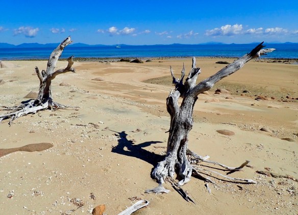 Splendid Isolation of Bona Bay
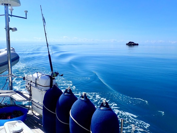 Windless days and glassy seas
 Pebble beach at Bona Bay
 A small creek entering Shark Bay
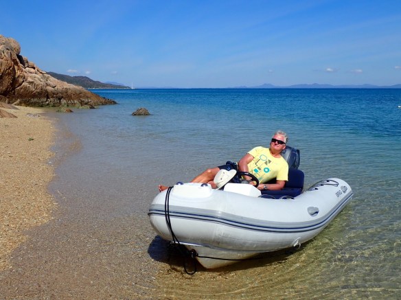 Enjoying the calm waters, exploring in the dingy.
 A trail to nowhere
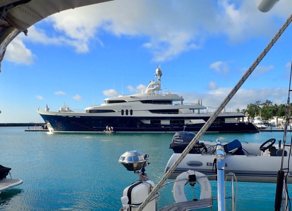 Super Yacht Felix , they had been polishing the hull all day
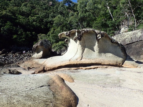 The rocks at Stonehaven Beach
 Our next stop was, for contrast, deep inside the 2.5nm long Nara inlet, at only half a km wide we were encased by the high green hills.We couldn’t have wanted for a more tranquil spot, in fact Rick took advantage of the calm conditions, and the extra hands onboard, to drop the main sail and inspect the inmast furler.
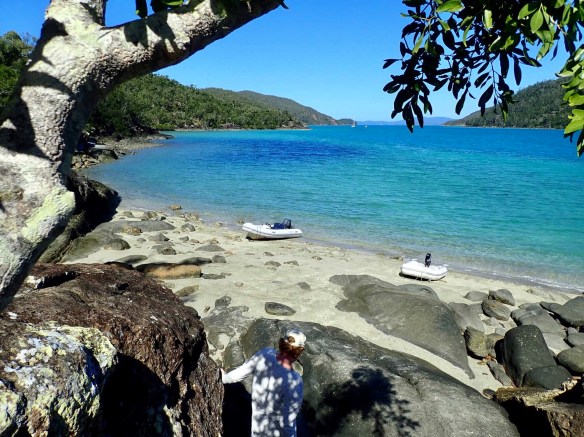 Looking down the length of Nara Inlet
 Aboriginal cave paintings in Nara Inlet.
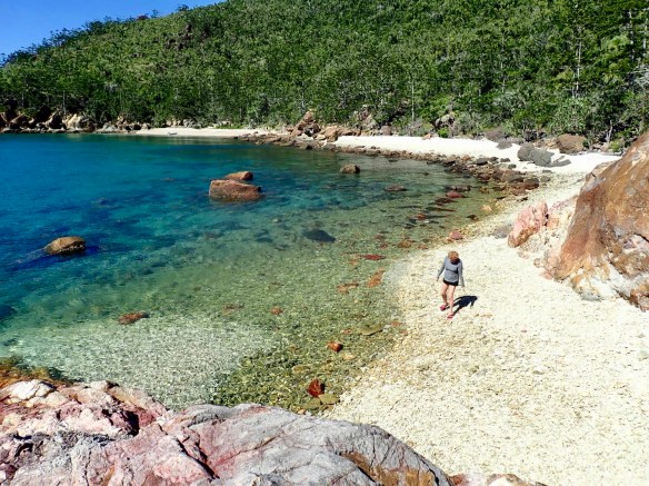 Fossicking on Cateran Beach
 Fossicking Prizes
 Clambering on the rocks in Butterfly Bay
 Beach at Luncheon Bay buried under tons of coral fragments.
 Large bat fish in Luncheon Bay
 Roz admiring the view
 Five miles of white sand on Whitehaven Beach
 Piles of dead trees lined the top of the beach
 Anchored in Cateran Bay, Border Island
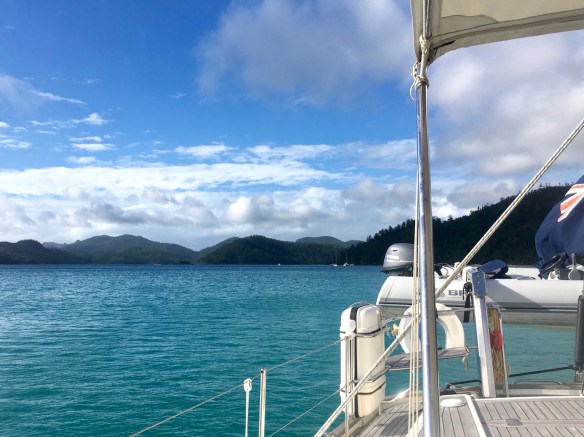 Anchor down in calm Sawmill Bay, Cid Harbour
 Beautiful Cid Harbour
 Bright orange fungi grow on the wood that litters the forest floor.
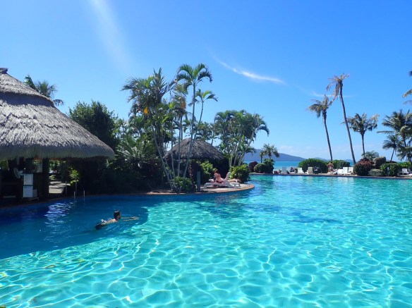 Main pool at Hamilton Island Resort
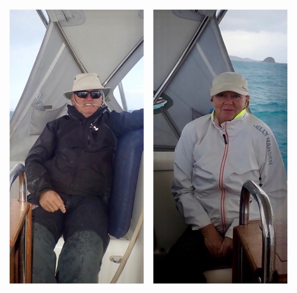 Cold wet arrival in the Whitsundays.
 Derelict Bampton Island Resort
 Kangeroo watching our every move
 A ray of sunshine creeps through the clouds highlighting Yellow Rock off Shaw Island
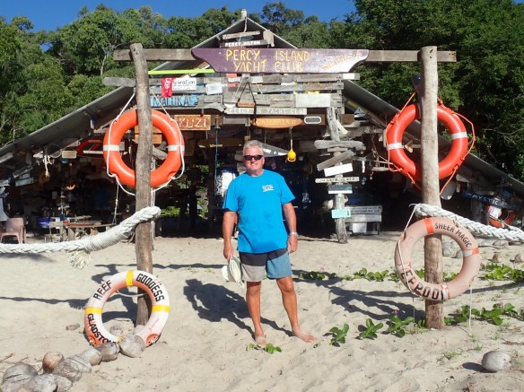 Every inch of Percy Island Yacht Club is covered in mementos from passing yachts.
 Marking our stay in West Bay
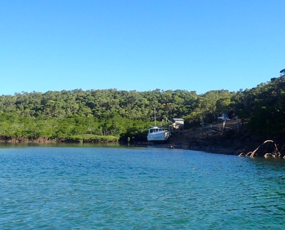 Homestead transport hidden within the protection of the West Bay Lagoon.
 Giant Golden Orb spider
 Pontoon ramp at low tide
 Light blue soldier crab
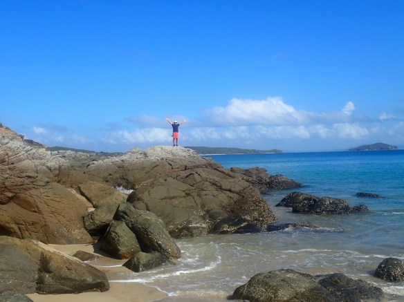 Rock climbing Second Beach, Keppel Island
 A complete rainbow arched across the creek
 Sand banks Island Head Creek
 Armies of light blue soldier crabs marching up the beach
 Looking out from Double Head across the marina to a Rosslyn Bay
 Fan Rock
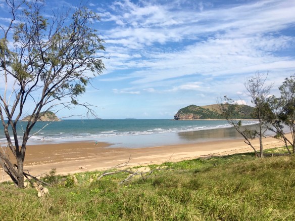 Deserted Kemp Beach
 Raya anchored in Lady Musgrave Lagoon
 Fishcakes for supper for the next three weeks.
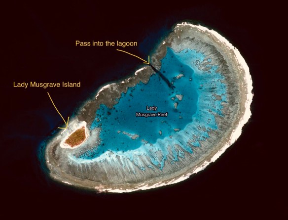 Lady Musgrave Reef on Google Earth, a jewel in the dark ocean
 Thousands of Black Noddies take to the air.
 Even the tiny Damsel Fish added to the days turquoise colour scheme.
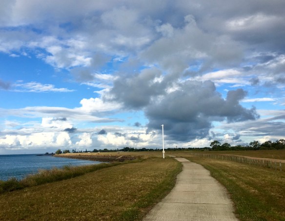 Dramatic Bundaberg skies
 Paddling at Elliots Heads
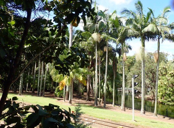
 That looks a bit better.
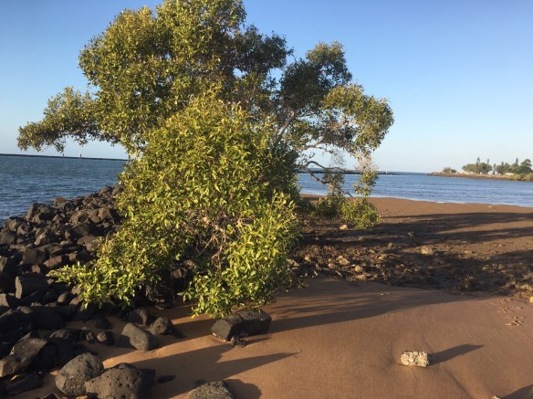 Dark beach at the mouth of the Burnett River
 A flock of Pelicans always remind us of pterodactyls.
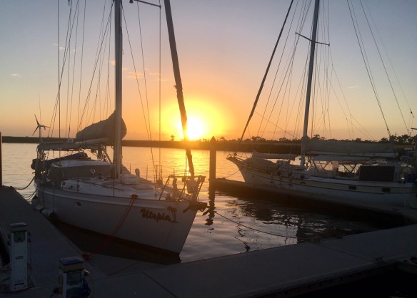 Still at last, lovely sunrise over Bundaberg marina
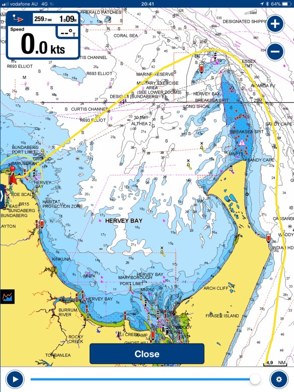 It felt like a long trek north around Fraser Island
 Freezer cold – hooray
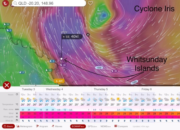 Last weeks forecast for the Whitsunday Islands five hundred miles to our north
 The beach at South Stradbroke Island with the Gold Coast high rises in the distance.
 Brisbane ferries and Highrises.
 Mad motor boat drivers coming from all directionsi
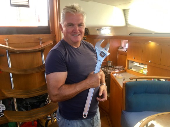 Ricks new spanner
 Dinner with old friends
 Motoring down the Coomera River in the torrential rain.
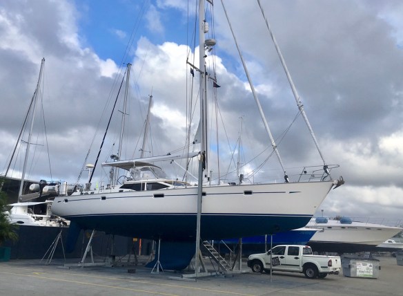 Ready to be lifted back onto the water
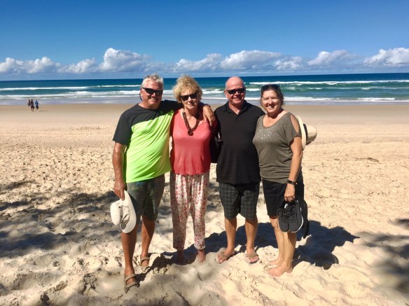 Walking on Main Beach with Elaine and Roy from Paw Paw
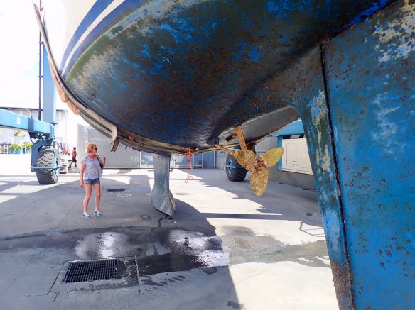 Dirty hull!
 Watching the life raft being checked
 View of the harbour from the top of Mutton Island.
 Rick enjoying the view
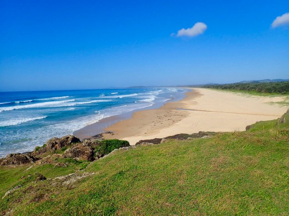 Miles of beaches run South from the harbour
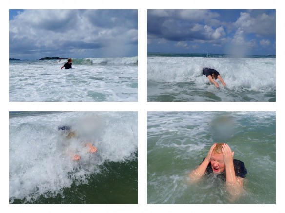 Enjoying the tumbling surf
 Newcastle city centre
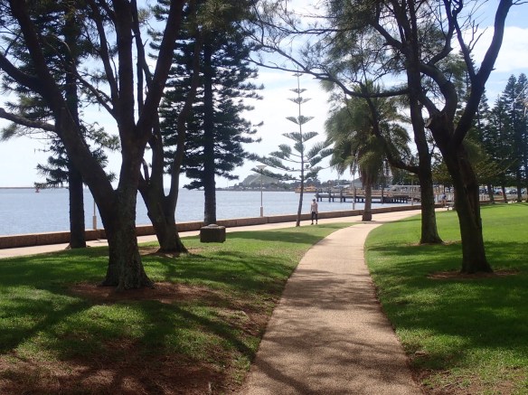 Foreshore walkway
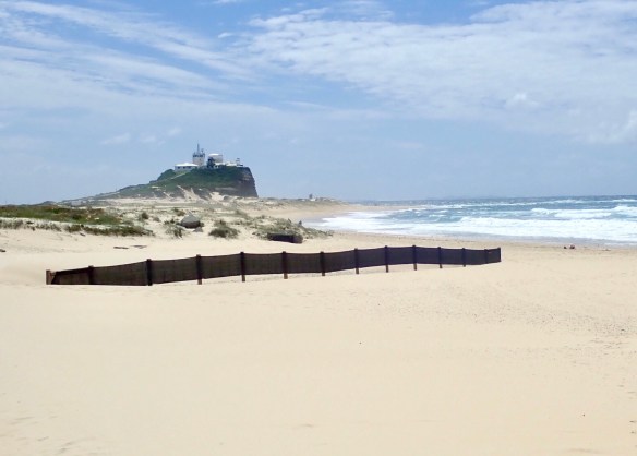 Nobby’s Beach, Newcastle
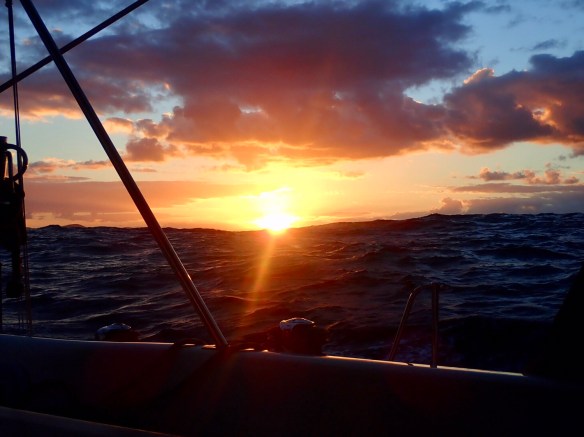 Sunsetting behind the big swell